
Perth Amboy ZIP Code Directory Coverage
Two confirmed postal services are relevant to Perth Amboy. The standard-delivery ZIP is the starting point for a physical address. The other ZIP is for post-office boxes. That difference matters before any record search: a tax map, deed, or GIS parcel uses a location and municipal key, while a PO Box is a mailing arrangement. USPS should settle the delivery code first, then the local record can be matched to its actual jurisdiction.
| ZIP | Areas Covered | Post Office | Notes |
|---|---|---|---|
| 08861 | Perth Amboy and a delivery area that includes Hopelawn in USPS-derived descriptions | Perth Amboy standard delivery; USPS Connect identifies 205 Jefferson St. | Use an exact-address lookup. Postal coverage is not a municipal boundary. |
| 08862 | Perth Amboy post-office-box service | Perth Amboy PO Box ZIP | A box address is not a parcel situs. |
No official current ZIP boundary map, municipal crosswalk, or realignment date was located in the research. The two documented services are enough to choose a careful workflow, but not enough to claim a line on a map. A result that says 08861 should still be tested against the parcel municipality.
That check matters in Perth Amboy because postal names and local-record jurisdictions serve different functions. USPS assigns delivery treatment. The city assessor maintains situs and tax-map information, while Middlesex County systems use parcel geometry and recording fields. A city name in a postal result is useful, but it does not answer whether the address lies in the city for assessment, court, or deed purposes. Keep the standardized postal result with the later municipal and parcel results rather than choosing one as a substitute for the other.
Use USPS for Perth Amboy ZIP Codes
The USPS ZIP Code Lookup has two distinct modes. Find ZIP Codes by Address uses a street address, city, and state to return the standardized delivery ZIP. Find ZIP Codes by City and State returns ZIPs associated with that place pair, which is useful for orientation but less precise. Start with the address mode when a specific street is known.
| USPS field or mode | What to enter or expect |
|---|---|
| Find ZIP Codes by Address | Select this mode for an exact delivery result. |
| Street Address | Required in address mode. |
| City | Required in address mode, such as Perth Amboy. |
| State | Required in address mode; select New Jersey. |
| Find ZIP Codes by City and State | A broader associated-ZIP search, not a parcel search. |
| Search and Clear | Run or reset the lookup. |
The USPS address lookup is the primary screenshot source for this Perth Amboy ZIP code directory.
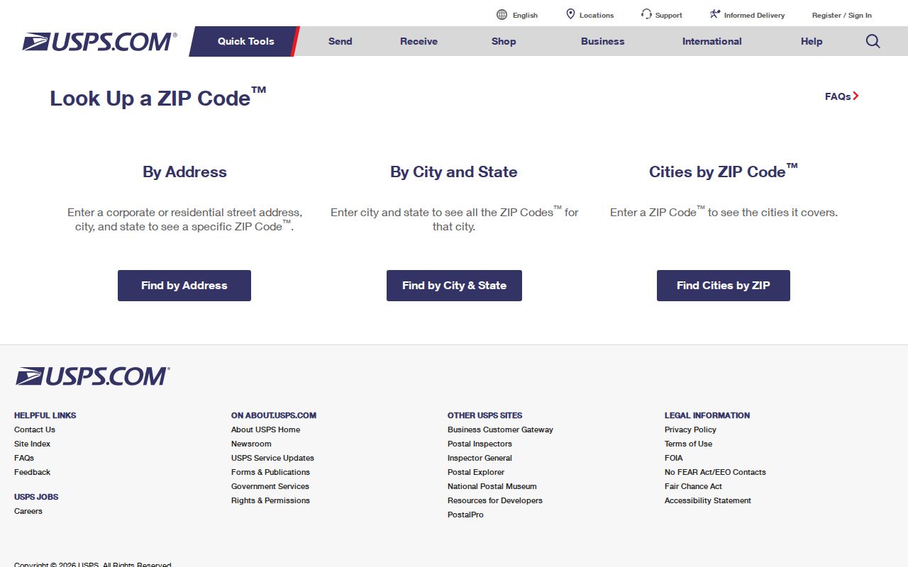
The returned postal standard is a delivery result. It should be recorded with the date because postal routes and web interfaces can change.
The USPS Locations tool separately searches street address, city or ZIP, state, and location type, including Post Office and collection-related choices.
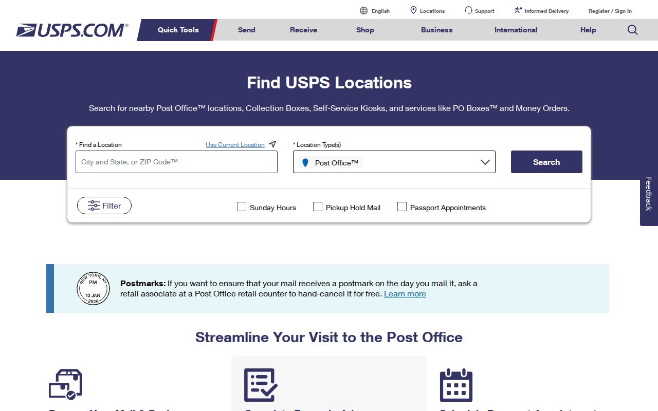
That location tool helps identify a postal facility. It does not turn a ZIP into a municipal-boundary map.
For an incomplete address, use the city-and-state mode only to identify possible ZIPs, then return to the full-address mode once a street number is known. The historical post-office search is another separate service. It accepts a first-three-digits range and returns establishment or discontinuance information, so it can support historical context but cannot validate a current delivery address. Keeping these searches separate prevents an old postal fact from being treated as a present parcel fact.
Narrow Perth Amboy by ZIP Code
A ZIP code is an orientation layer, not a verified citywide people or parcel filter. No official local portal documented a ZIP-only roster for Perth Amboy. The responsible path uses the ZIP to validate mail delivery, then converts the address into the municipality, block, lot, or parcel identifier used by land and court systems. That keeps a delivery-area result from being confused with city jurisdiction.
- Enter the complete street address in USPS ZIP Code Lookup and save the standardized ZIP result.
- Compare the postal city and ZIP with the municipality in NJGIN or the Middlesex parcel layer.
- Use the physical address to obtain block, lot, or parcel context, then select the correct city or county custodian.
- For historical material, retain the directory’s own place label and street because a collection can cover nearby communities.
- For a PO Box, preserve 08862 as a mailing key and do not replace it with an assumed street parcel.
Directory geography adds another reason to record each step. The 1912 through 1915 Richmond volumes and the 1931 Polk volume include nearby places as well as Perth Amboy. A postal ZIP cannot repair a broader historical collection label. Instead, retain the exact wording from the volume, note its publication year, and compare the address with the municipality used by the parcel and deed systems. That produces a defensible record trail even when a name or street appears in more than one regional source.
Once the address is narrowed to a street and parcel, the Perth Amboy street directory provides the fuller address-by-address record chain.
Match Perth Amboy ZIP Clues to Parcels
NJGIN Property Explorer searches by address, county, municipality, block, and lot. Select Middlesex and Perth Amboy after checking a postal code. NJGIN does not document a ZIP-wide parcel filter. The state parcel data may redact owner names under Daniel’s Law, so a blank field is not evidence that a parcel has no underlying record.
A block and lot are tax-map keys. A parcel PIN or PAMS identifier is a data key used in statewide or county systems. A deed can also use legal-description fields, map numbers, or prior descriptions. These are sturdier links than ZIP when a street label changes or when a postal delivery area crosses a municipal line.
The NJGIN Property Explorer page is the source for the parcel-search controls shown here.
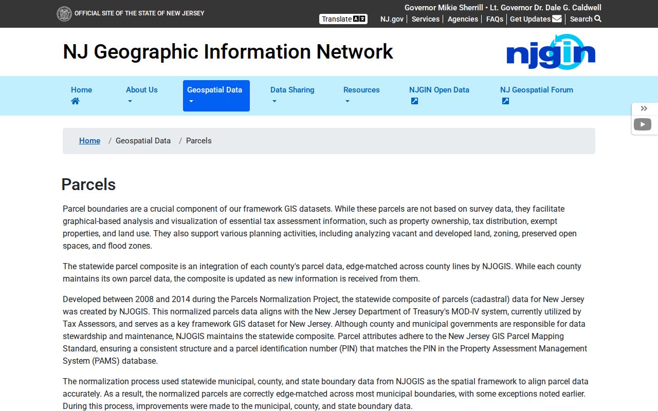
Address, county, municipality, block, and lot are documented search paths. None should be described as a ZIP-only resident search.
Why Perth Amboy Has No ZIP Roster
The Middlesex parcel service exposes parcel geometry, tax-block context, an OwnersName display field, and query controls. Its metadata does not document a ZIP filter. NJGIN likewise offers address and municipal keys, not a verified ZIP-wide list. County GIS is useful after the subject address is known, particularly for visual parcel context, but it is not a compiled list of everyone who receives mail in a ZIP.
Use a narrow geography when querying the county layer. The parcel service has a maximum record count of 2,000. A municipality, block, lot, feature, or known address is more reliable than an expansive query. GIS is a spatial snapshot and can lag a recording or assessment update, so save the access date and the parcel identifier with any result.
Postal comparison. A delivery ZIP can guide a search, while municipal jurisdiction and parcel keys identify the local record path that follows.
Perth Amboy ZIP Code 08862
08862 is a Perth Amboy PO Box ZIP, unlike the standard-delivery 08861. That is a useful local distinction because a PO Box can appear in correspondence without locating a person or an underlying parcel. Treat it as a mailing address. Do not convert it to a street address, and do not use it as evidence of a residence, owner, or neighborhood connection.
The USPS Connect local listing identifies the standard-delivery Perth Amboy location and provides the documented 08861 delivery-area reference.
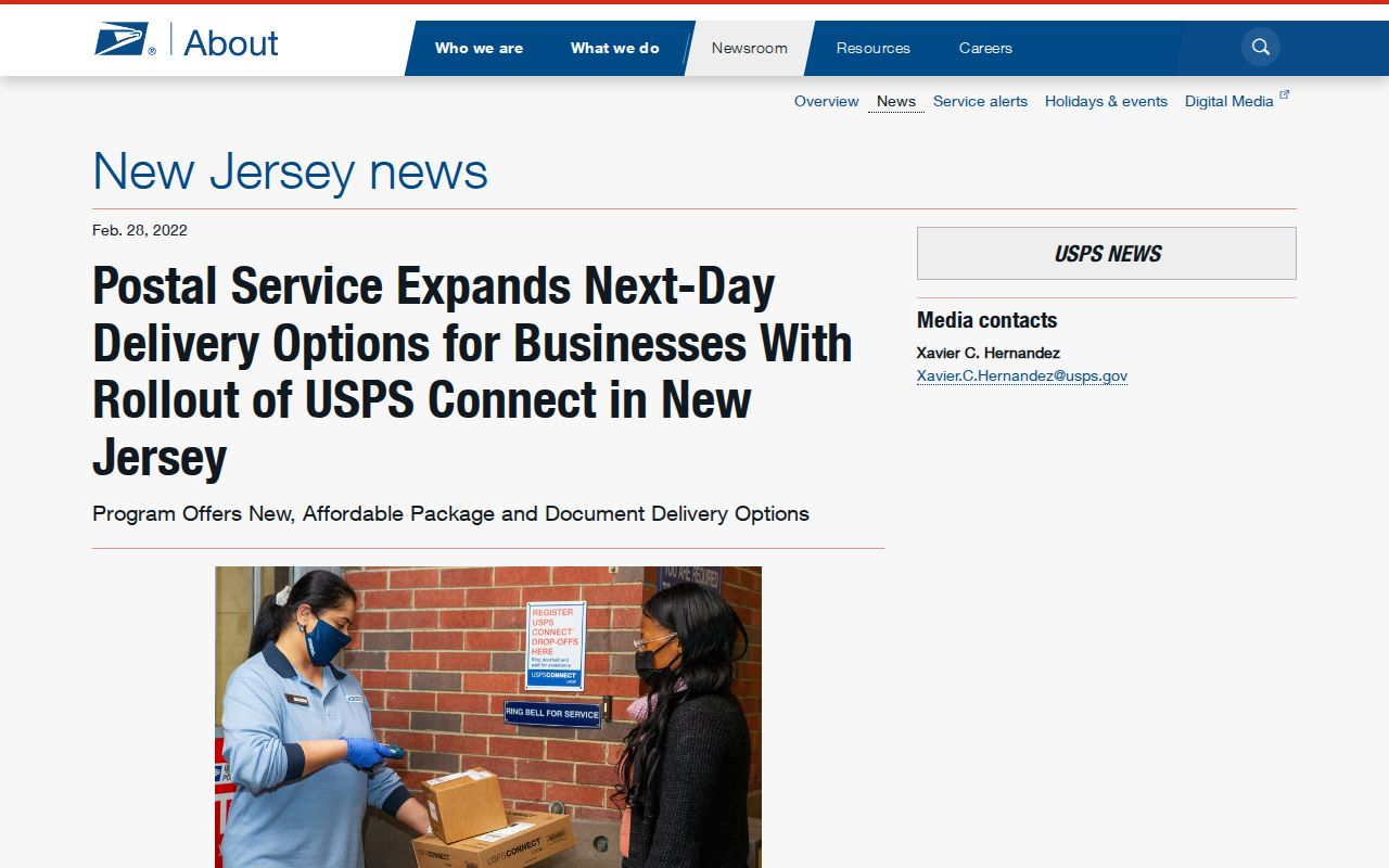
The delivery-area reference includes Hopelawn in the USPS-derived description, which is why an address still needs a municipality check.
Directory Geography Beyond ZIP Codes
Historical directories use their own geographic scope. Richmond volumes from 1912 through 1915 and the 1931 R.L. Polk volume cover more than a narrow modern city label. The 1931 volume includes Woodbridge, Fords, Sewaren, and Keasbey. A historical search result may therefore be useful context without proving that its address belongs to the modern Perth Amboy municipality.
For older postal context, the archived USPS mail-scheme reference accepts historical ZIP inquiry information. It is not a current delivery validator and should never override the current address lookup.
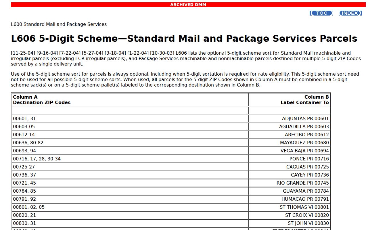
Record the source’s date and purpose. Older directory and postal wording can explain a mismatch, but it cannot substitute for today’s parcel jurisdiction.
Perth Amboy ZIP Code Boundaries
USPS assigns delivery treatment. The City of Perth Amboy and its assessor maintain situs and tax-map records. Middlesex GIS publishes parcel geometry, and NJGIN publishes statewide parcel data. These functions overlap at an address but are not the same authority. No verified source from this research names a separate local E911 addressing office or an official current ZIP-boundary map.
- ZIP versus ZIP+4
- A ZIP directs mail to an area; ZIP+4 adds a more specific delivery segment.
- PO Box ZIP
- A ZIP assigned to post-office-box service rather than a physical delivery address.
- Unique ZIP
- A ZIP assigned to a single institution or high-volume receiver; none was verified here for Perth Amboy.
- Carrier route
- A USPS delivery grouping that helps route mail and is not a municipal boundary.
The USPS historical post-office-by-ZIP page offers a separate historical facility search using a first-three-digits range.
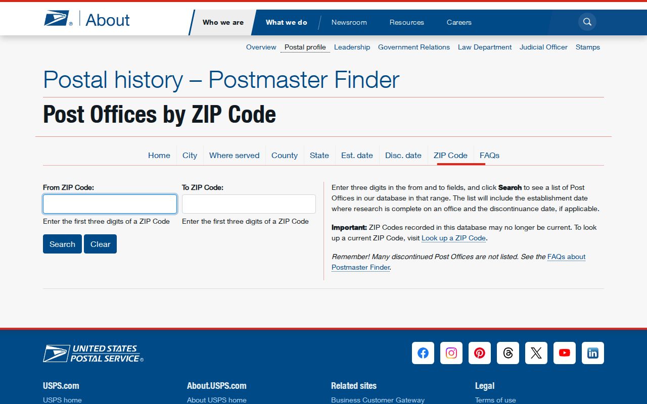
The historical facility screen has a different purpose from an exact delivery lookup. Keep the two results separate.
When an address does not line up, preserve the unresolved question rather than force a ZIP match. The research did not locate a verified citywide readdressing record or a current municipal-to-ZIP boundary source. The safest next step is a request to City Planning or Engineering about civic addressing, or a check with county GIS about the parcel boundary. A block and lot or legal description remains the more stable record key if street wording or delivery treatment changes.